
Soooooooo, this website has been in hibernation mode for many moons at this point, and it’s not because I’m not hiking. It’s because I haven’t made HikeforDays a priority during a surprisingly busy pandemic. Between working part-time at REI, writing a bajillion gear reviews for TheTrek, eating burritos, and pushing along the first draft of a book (spoiler: it’s about the CDT), I have honestly just reached my threshold of how much energy I can commit to writing and thinking about the outdoors. I wish I had more to give because there is so much to tell.
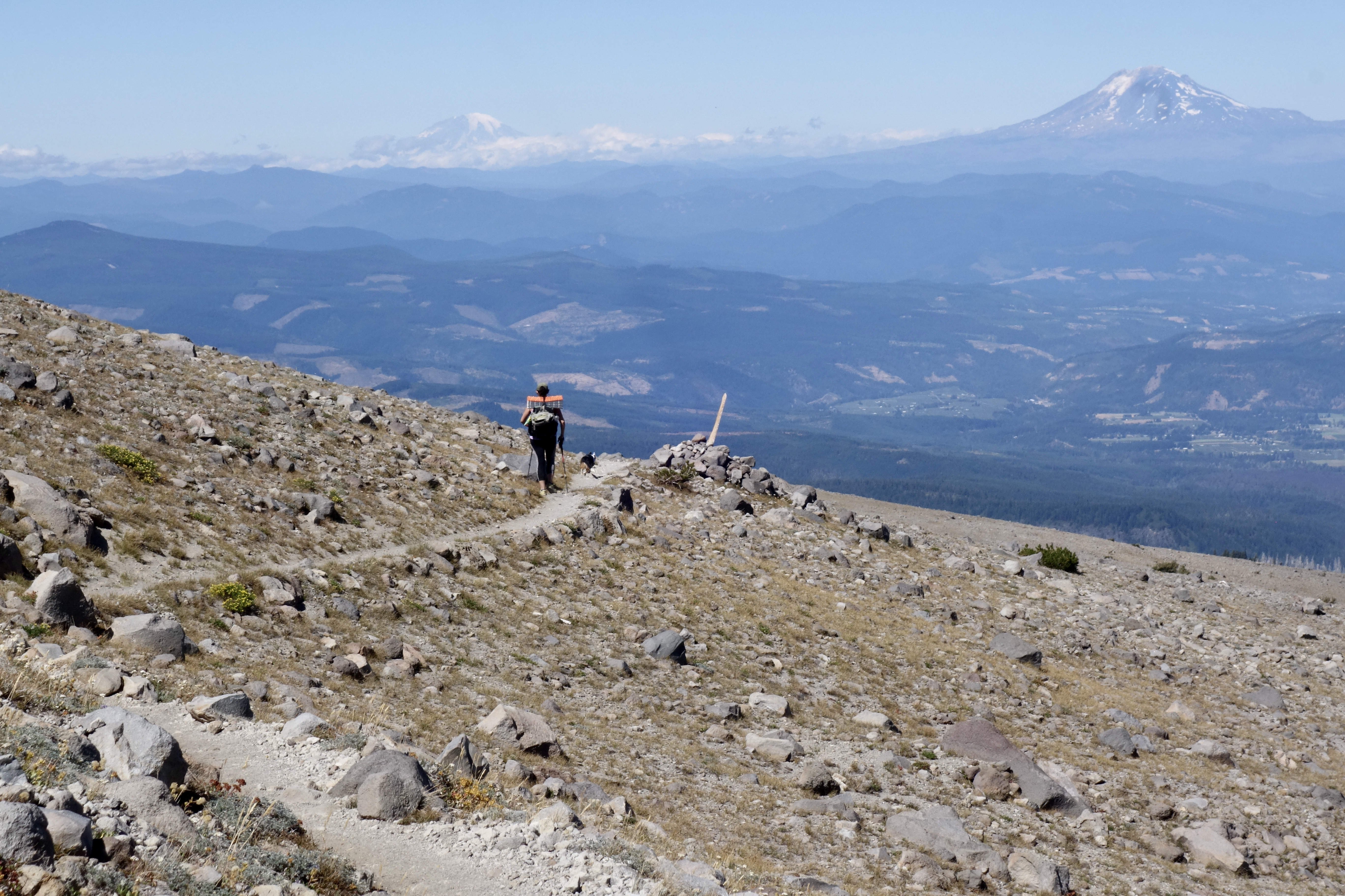
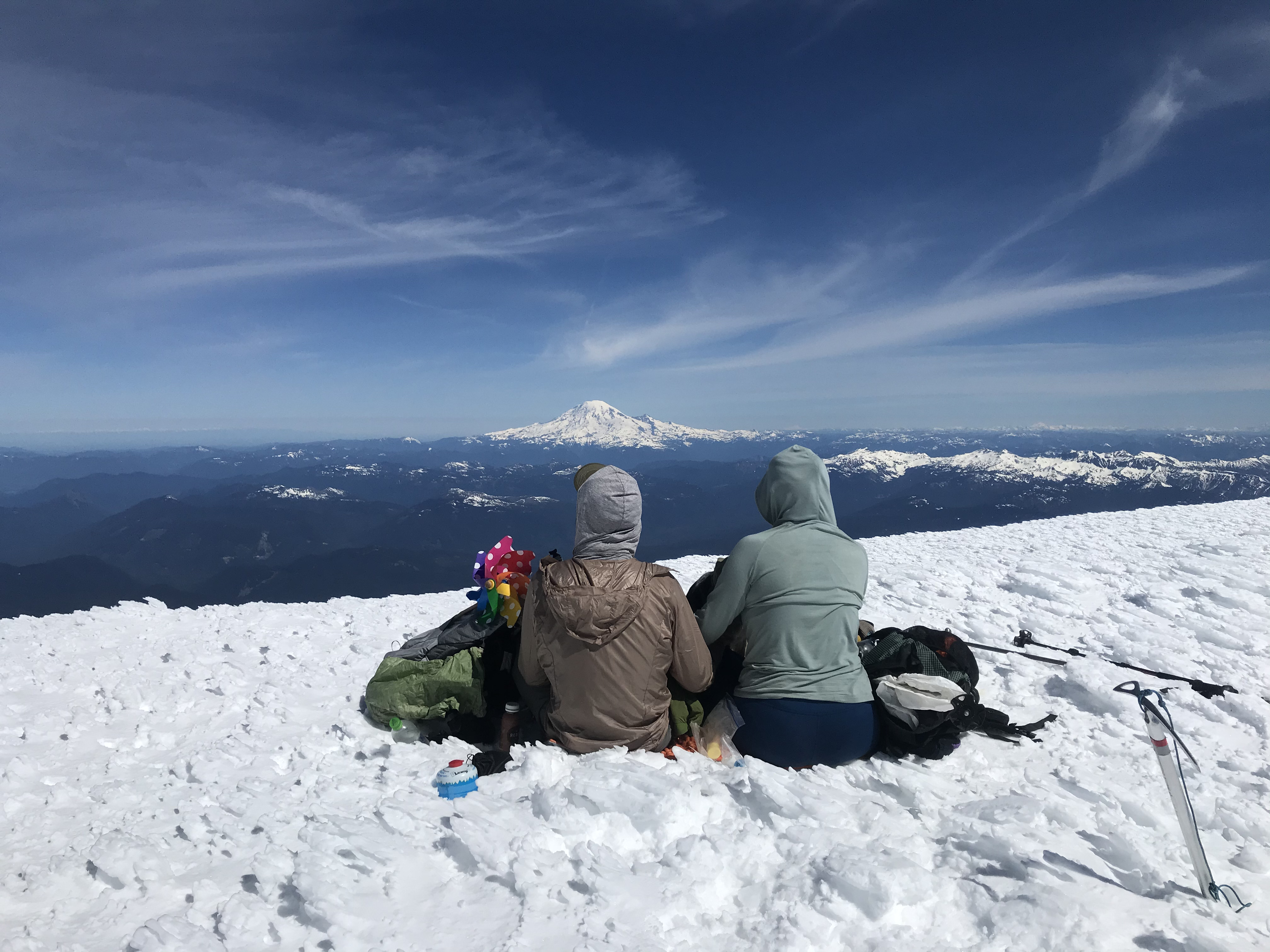
Trips that haven’t made it onto the hallowed walls of this website are the Timberline Trail last summer (42 miles around Mount Hood), a yoyo thru-hike of Portland’s Wildwood Trail in April, and a May summit of Mount Adams. SpiceRack and Tango “the wonder dog” have been my companions for all of these miles, and many more around the gridded streets of Portland.

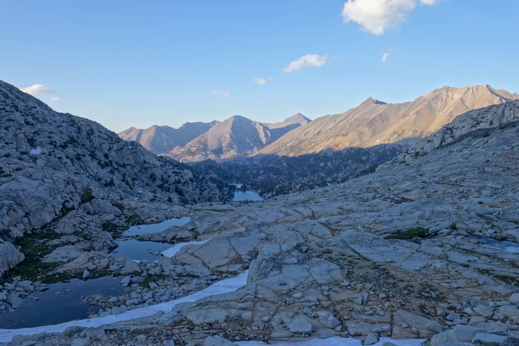
As summer reaches its withering heights, SpiceRack and I stand on the verge of another trip, one that is too good to not mention. In a few days we leave for a link-up of the Sierra High Route (SHR) and Southern Sierra High Route (SoSHR). The SHRSSHR for short, pronounced “sher sssssssher”. Combined, these routes parallel the John Muir Trail through the highest of the High Sierra, avoiding trails where at all possible. The final numbers are imprecise, but roughly, our proposed route covers 270 miles and tops 32+ passes. It is going to be fantastic, it is going to be hard. Daily movement will not be determined by mileage as it is on so many trails, but rather by how much elevation change our legs can handle (if we hit 10 miles per day, we’ll be crushing it).
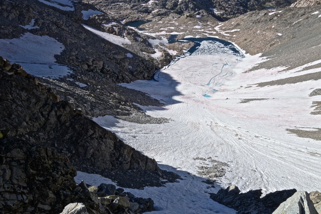
We are starting the SHR in Twin Lakes, just outside the northern boundary of Yosemite NP. With resupply stops in Tuolumne Meadows and Red’s Meadow, we will scramble and skid our way ~170 miles south to Bishop Pass. Andrew Skurka’s website is a great resource for SHR info, in addition to the original guidebook by Steve Roper. We’re using Skurka’s printed maps, and a digital version of Roper as primary navigation. Gaia GPS on our phones will provide backup when we lose ourselves on the map.

South of Bishop, we will follow the SoSHR ~100 miles to Horseshoe Meadow. This is going to be sweet. It’s a route created by backpacking guide Alan Dixon, whose website is a complete resource, including maps and guide. With much effort and a little luck, we will exit at Horseshoe Meadow approximately 7-9 days after leaving Bishop. Then it’s a matter of hitchhiking or taking the Eastern Sierra Transit shuttle back to our car near Bridgeport. Easy peasy.
In total, we’re looking at a 24 day itinerary, but that’s just the hiking. There will almost certainly be a zero day in Bishop as well. Notably absent is the dastardly “weather window” that dogs thru-hikers on the longest trails. With plenty of time to complete the journey and our natural tendency to dilly-dally, SpiceRack and I expect to only feel spurred on by how much food we can carry. At about 2 pounds of food per day, crushing weight will be the limiting factor of our leisure. Leaving Bishop with 18lbs of food is going to hurt.

This trip is something I’ve been dreaming about for nearly a decade. The excitement I felt months ago when committing to “making this the year” has been overwhelmed by an overbearing anxiousness. It is a familiar feeling that always rears its snarling head (it looks like a Chinese dragon in my mind) before a big trip. Am I strong enough? Will the weather be alright? Mosquitos, how bad will they be? Is the snow melted out? Am I stupid for not bringing an ice axe? What about fires? Do I have enough food, or way too much? Am I strong enough?… The bad news is that I need to live with this feeling for a few more days. The good news is that I know it will evaporate like morning dew under the scrutiny of the High Sierra sun as soon as I step out of the car at the trailhead. The air will smell like home. The dirt will taste just like it did in my dreams. I don’t need the answers to these questions. They will become irrelevant in the moment they become known.
No matter what happens, whether we get chewed up and spit out before Tuolumne or grind out the whole enchilada, I am going to get more than I bargained for. Hopefully that includes the inspiration to write about the experience. Posts, if/when they come will start populating HikeforDays in August. Until then, (as long as I didn’t screw it up) y’all can follow our progress by using the map link on the Where Am I? page.
Anything else? Probably, but that’s all I have for now.
Happy hiking!

Kia ora, Owen. NZer Vicky here. I’m delighted to see you back in the business of trekking and trailing. Good luck. Enjoy it. Late September I plan to start walking the 3000km Te Araroa Trail, the length of New Zealand. You and Spice Rack should consider it once the borders open again!
LikeLike
Hello again, Vicky! Yes, it feels good to again feel nervous at the start of a big trip. And I am so happy to hear about your journey on the Te Araroa. How exciting! That trail is definitely on our list. It will be wonderful for you, I am sure.
LikeLike